|
| ||
18/09/2012 |
| Plymouth is a city of some 250,000 people, its major focus is still the Royal Navy's Devonport Dockyard which is the largest in Western Europe. In addition there is a commercial port and Brittany Ferries services to Roscoff and Santander. Away from the sea Plymouth University is Britain's 9th largest. Click on a photo to see it full size in a new browser window
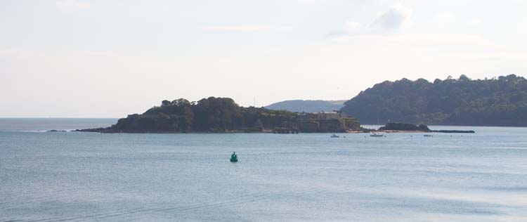
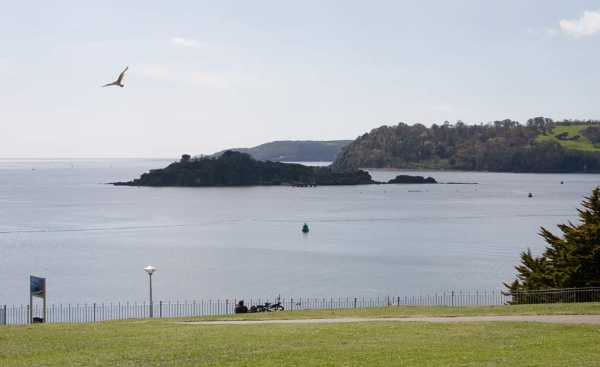
Drakes Island seen from Plymouth Hoe.
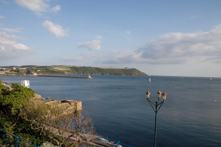
Looking from Plymouth Hoe across the mouth of the River Plym towards Mount Batten and Turnchapel.
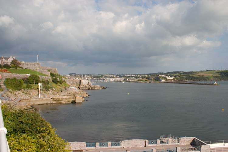
Another view from the Hoe to the Devon shore of Plymouth Sound.
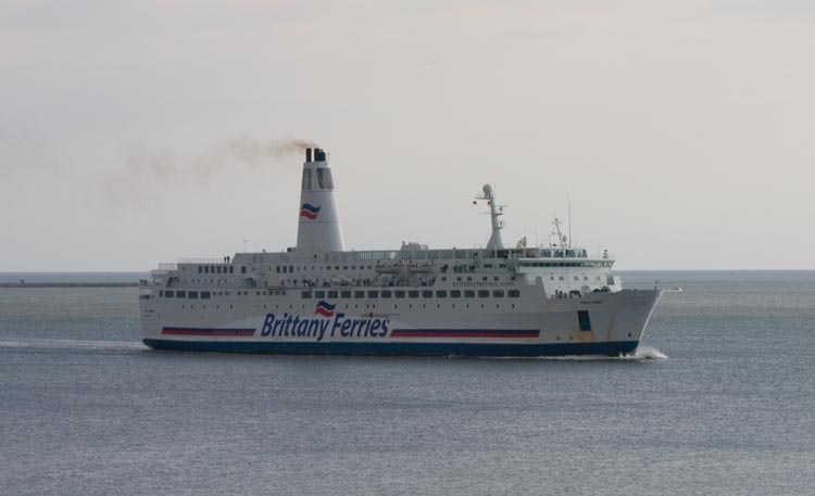
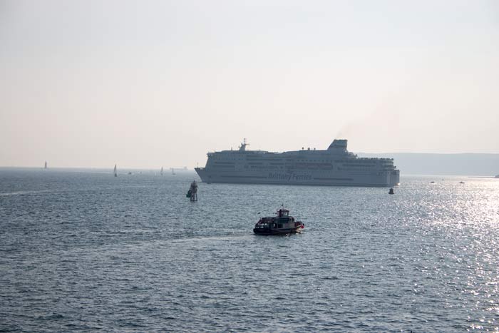
Brittany Ferries' Pont l'Abbe approaches the breakwater entering Plymouth Sound.
A series of photos of the Pont l'Abbe coming in and passing Drakes Island.
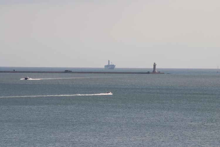
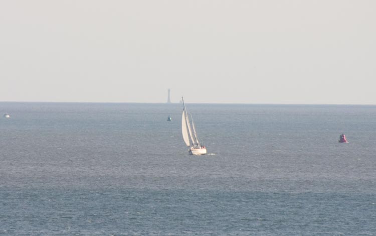
A distant view of the Eddystone Lighthouse, beside the current (1882) tower is the stub of Smeaton's 1759 one - almost hidden by the tip of the yacht's mast. Smeaton's Tower was dismantled and re-erected on the Hoe - see photos below.
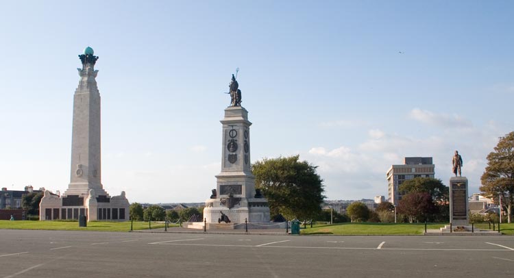
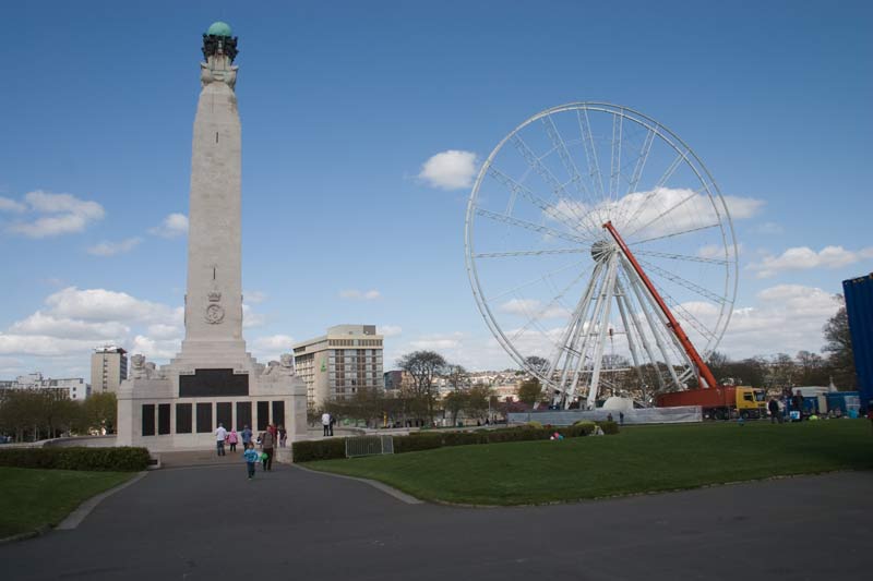
Memorials on the Hoe, a reminder that Plymouth is primarily a Naval port.
Drake's statue overlooking the Hoe where he finished his game of bowls before going out to defeat the Spanish Armada - what would he make of the Holiday Inn behind him?
What also would he make of the big wheel that has been erected nearby? The views from it must be fantastic but since it was completed I've not had a chance to try it.
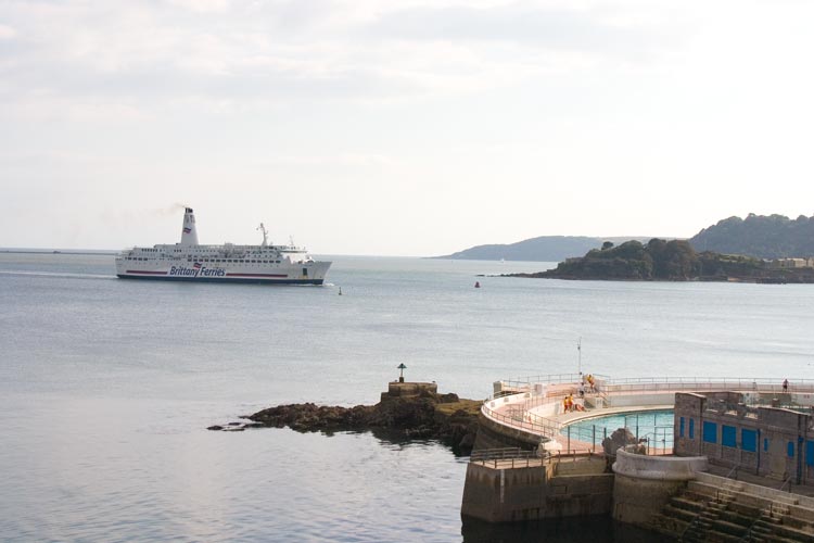
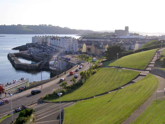
Grand Parade down below the Hoe, the Pont l'Abbe berthed at Millbay and in the background the Cornish shore of the Sound around Mount Edgcumbe.
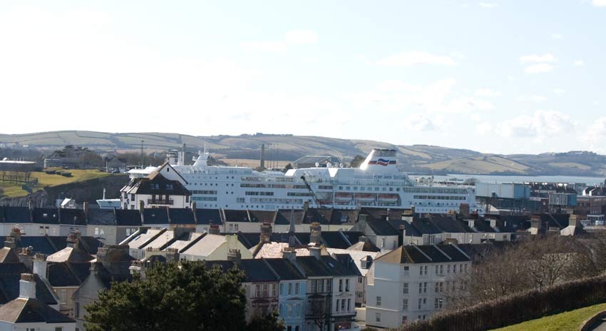
Three years on it was a newer Brittany Ferries vessel in port at Millbay, the Pont Aven before sailing to Roscoff in Brittany.
A slightly different view from the same spot including Drakes Island.
A closer view of Drakes Island from the Hoe.
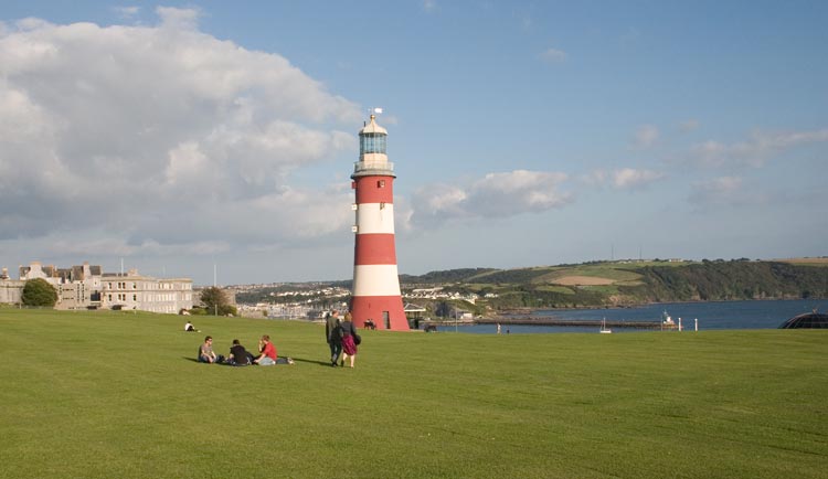
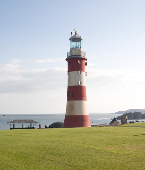
Two views of Smeaton's Tower, his 1759 Eddystone Lighthouse which was dismantled and re-erected here when the Eddystone Rock started to break up under its foundations which led to its replacement by the present tower in 1882.
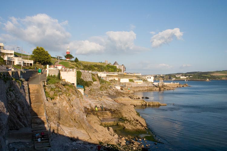
Looking back on the way down from the Hoe including Smeaton's Tower and the open air pool.
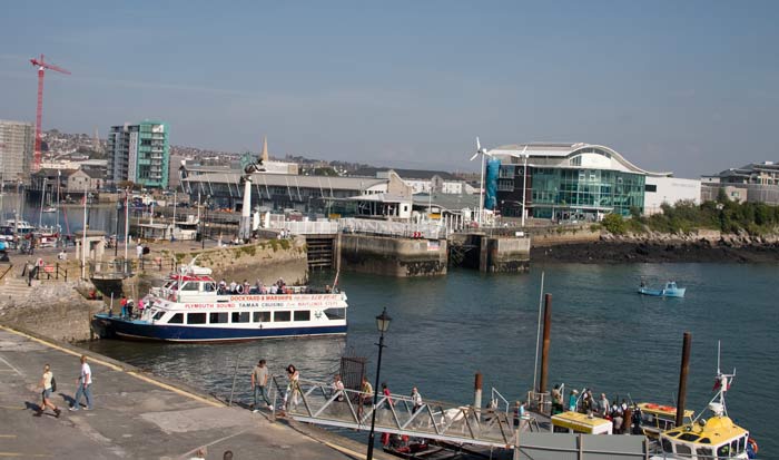
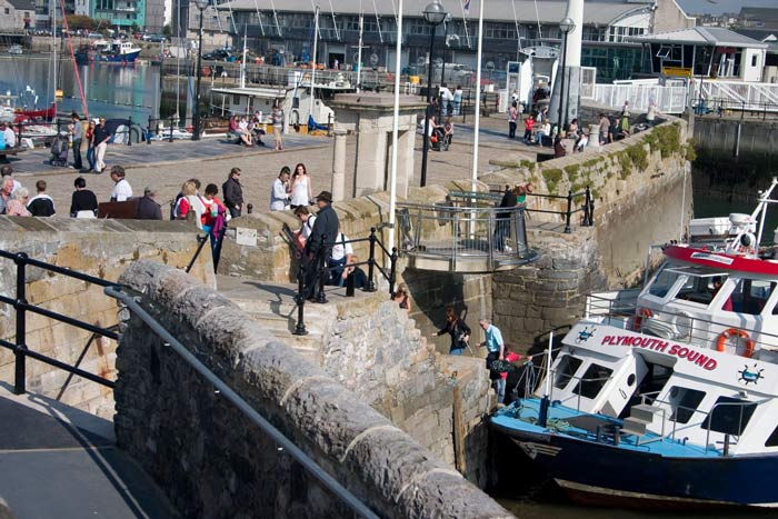
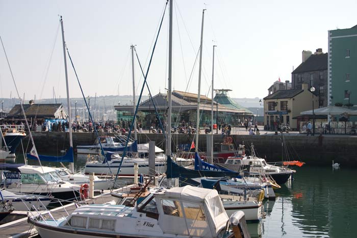
On the eastern side of the Hoe is Sutton Harbour, this view shows a pleasure boat at the Mayflower Steps, behind is the lock into Sutton Harbour, beyond that the National Marine Aquarium .
A closer view of the Mayflower Steps from which the "Mayflower" sailed to America carrying the Pilgrims in 1620.
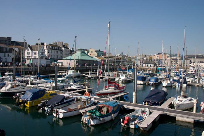
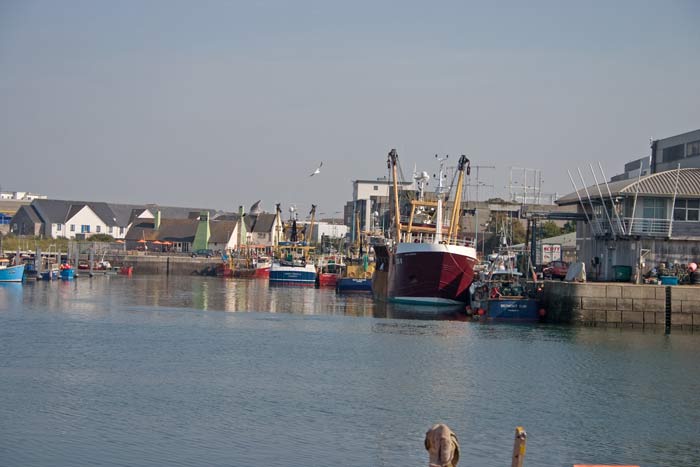
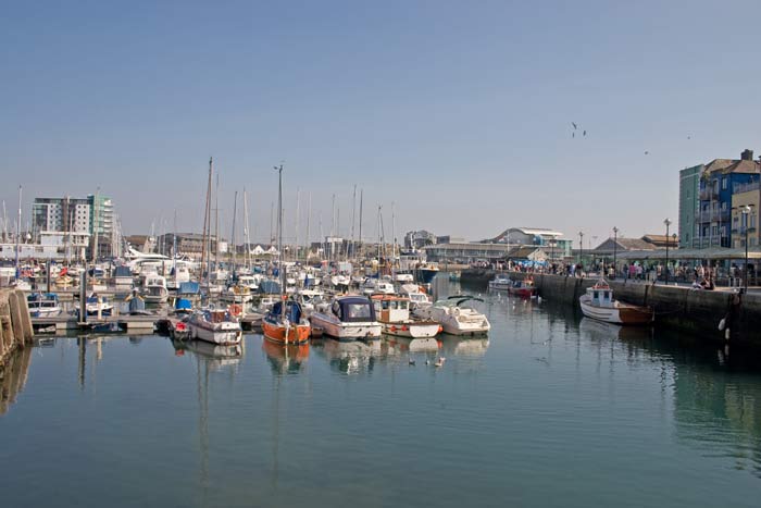
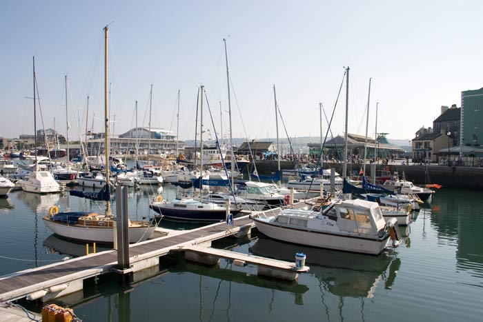
Three views of Sutton Harbour, mainly a marina it is though still a fishing port, the photo on the right shows some fishing boats alongside the fish market.
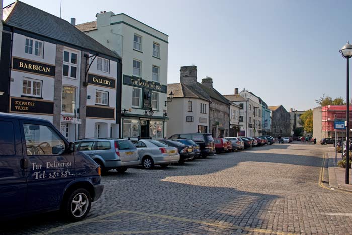
The Barbican in the heart of old Plymouth, Sutton Harbour is behind me here, nearby is the Plymouth Gin distillery.
Three more views of the harbour, the building in the centre of the right-hand shot was once the fish market but now houses shops.
Mount Batten Point seen from the Hoe.
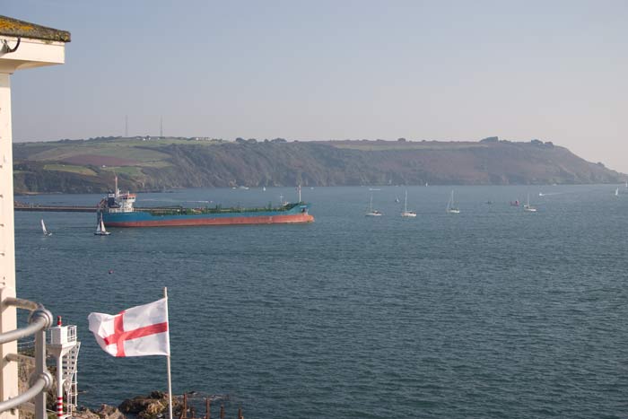
Three vessels in Plymouth Sound, left a Dutch destroyer coming in towards Devonport, centre a coastal oil tanker heads out past Mount Batten and right Brittany Ferries' "Pont Aven" heading out from Milbay to Roscoff.
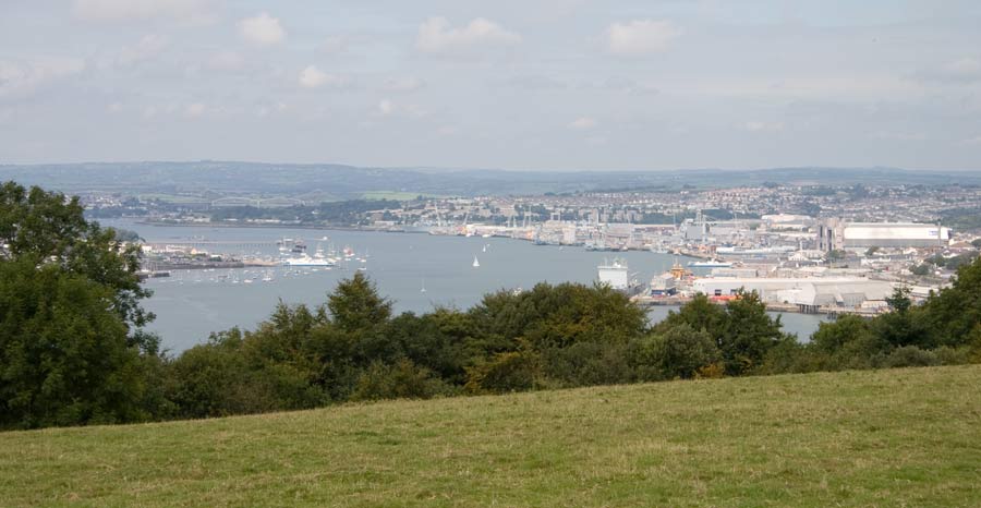
Two photos taken from Mount Edgecombe of Torpoint and The Hamoaze.
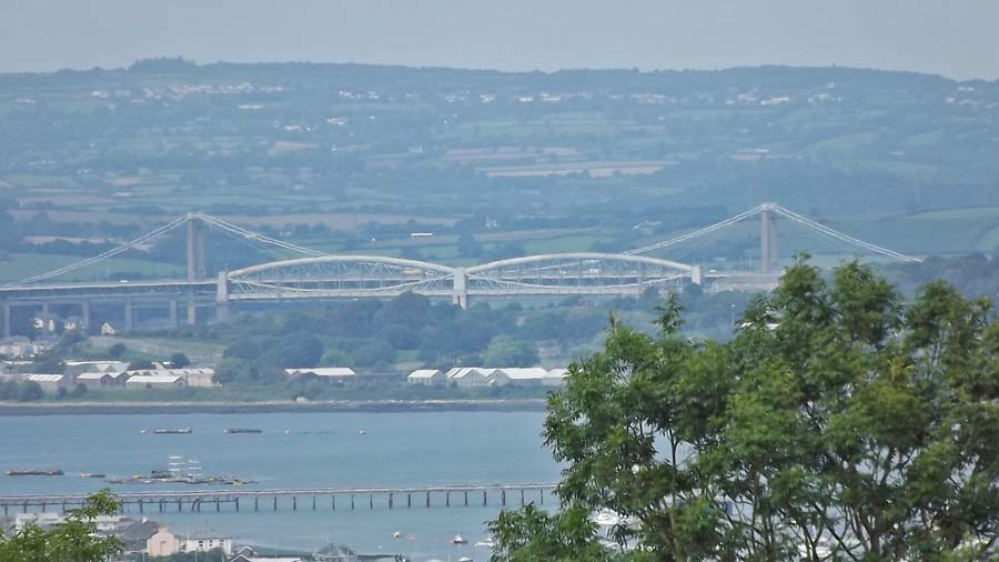
The Tamar Bridge (road) and Royal Albert Bridge (rail) seen from Mount Edgecombe
Devonport Dockyard seen from the same vantage point, much reduced it is still both a major employer and a vital base for the Royal Navy.
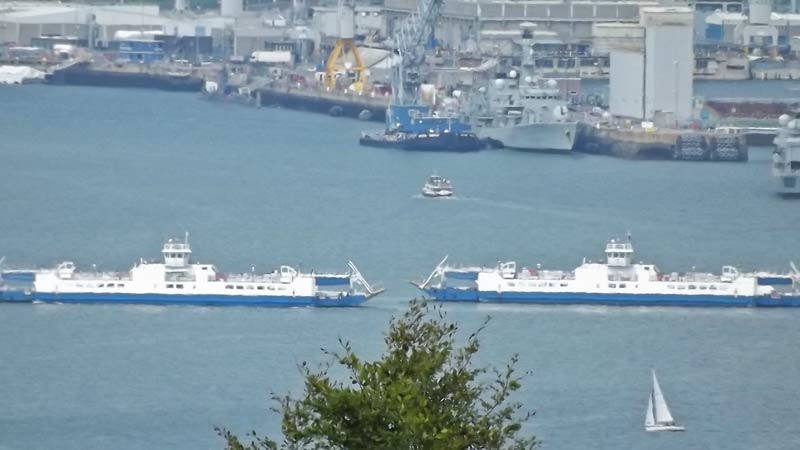
The Torpoint Ferries cross in mid-stream as they head between Torpoint in Cornwall and Plymouth, a service which saves a lengthy detour via Saltash and the bridge.
Visit our Travel Centre for train, ferry and tunnel bookings.
|
This site was last updated 18/09/2012